O jogo de computador que aplica os conhecimentos de Geologia e Engenharia Geológica à prospecção de petróleo! Podes localizar depósitos, analisar perfis geológicos e informação sísmica, encontrar o petróleo, enquanto tens de bater a concorrência.

Mostrar mensagens com a etiqueta Downloads. Mostrar todas as mensagens
Mostrar mensagens com a etiqueta Downloads. Mostrar todas as mensagens
22 outubro 2013
15 abril 2011
Geologia Estrutural - [DONWLOAD LIVRO]

»»»»»»»» LINK «««««««
24 março 2011
Ingeniería Geológica - Luis i. González de Vallejo, Mercedes Ferrer
 |
| González de Vallejo, L., Ferrer, M., Ortuño, L. y Oteo, C. Ingeniería Geológica. 2002 (1ra. Ed); 2004 (2da. Ed); 2009 (3ra. Ed) Prentice Hall Pearson Educación, Madrid, pp 750. |
21 fevereiro 2011
Free download GeoStudio 2007 Student Edition
http://www.geo-slope.com/store/catalog.aspx
The GeoStudio 2007 Student Edition is a free product designed as an aid to learning geotechnical numerical modeling. It is an ideal teaching tool for university professors both at the undergraduate and graduate levels. The software contains limited versions of SLOPE/W, SEEP/W, SIGMA/W, QUAKE/W, TEMP/W, CTRAN/W, AIR/W and VADOSE/W.
While these versions do not provide the full capabilities of the professional version, they do include sufficient features for learning the basics of geotechnical analysis. A digital copy of the Engineering Methodology books is also included with the software.
The Student Edition license is included for free when you download GeoStudio 2007, or it can be ordered on CD for a minimal fee from the store.
You may freely distribute the Student Edition, provided you adhere to the included license agreement. This allows you to replicate the CD and distribute it to an entire class of students.
Tutorial movies: http://www.geo-slope.com/support/geostudio2007/tutorials.aspx
15 fevereiro 2011
Apoio ao estudo - PSS e Geoquímica
Disponibilizamos duas sebentas que pretendem servir como apoio no estudo das disciplina de PSS e Geoquímica. As nossas publicações constituem meros apoios ao estudo e não substituem de maneira nenhuma a frequência das aulas e a consulta da bibliografia indicada pelos docentes.
PSS - Petrologia Sedimentar e Sedimentologia
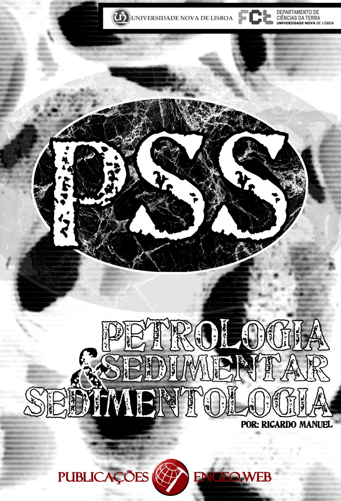
PSS - por Ricardo Manuel; 58pág.
Sebenta com a matéria completa de acordo com o programa , baseada na bibliografia indicada (ver no interior).

PSS - por Bruno Silva; 21pág.
Sebenta com o essencial da matéria com base em apontamentos das aulas.
________________________________________
Geoquímica

Geoquímica - por Ricardo Manuel; 47 pág.
Sebenta com a matéria teórica leccionada no ano lectivo 2009/2010, faltando apenas a Geoquímica ambiental. Baseada nas apresentações powerpoint fornecidas pelo docente.
Para ter acesso às sebentas ENGEoweb, bastará contactar-nos em: engeo.web@hotmail.com
Pedimos desculpa por eventuais erros. Caso os detectem, podem sempre informar-nos. Estaremos sempre disponíveis para receber críticas, comentários ou sugestões (construtivas). Com o vosso apoio e compressão, esperamos ter sido, mais uma vez, úteis.
10 fevereiro 2011
Petróleo no Canadá

Caros leitores, para variar um pouco o tipo de post's aqui feitos, deixo-vos um link com um vídeo sobre a produção de petróleo a partir de betume, que é dos tipos de obtenção de petróleo mais dispendiosos. Isto porque contrariamente ao típico método de obtenção, que consiste em efectuar uma sondagem, e a partir do furo desta extrair o petróleo líquido, este apresentado no vídeo consiste em extrair toneladas de areia para produzir um único barril de petróleo.
Para os que não compreendem muito bem a língua inglesa não se preocupem, pois o vídeo já está legendado (pt-pt).
07 janeiro 2011
New Topographic Map of the World
NASA and Japan released a new digital topographic map of Earth Monday that covers more of our planet than ever before. The map was produced with detailed measurements from NASA's Terra spacecraft.

NASA and Japan's Ministry of Economy, Trade and industry released the Advanced Spaceborne Thermal Emission and Reflection Radiometer Global Digital Elevation Model to the worldwide public on June 29, 2009. The GDEM was created by processing and stereo-correlating the 1.3 million-scene ASTER archive of optical images, covering Earth's land surface between 83 degrees North and 83 degrees South latitudes. The GDEM is produced with 30-meter (98-feet) postings, and is formatted as 23,000 one-by-one- degree tiles. The GDEM is available for download from NASA's EOS data archive and Japan's Ground Data System. In this colorized version, low elevations are purple, medium elevations are greens and yellows, and high elevations are orange, red and white.
Created From 1.3 Million Stereo Pairs
The new global digital elevation model of Earth was created from nearly 1.3 million individual stereo-pair images collected by the Japanese Advanced Spaceborne Thermal Emission and Reflection Radiometer, or Aster, instrument aboard Terra. NASA and Japan's Ministry of Economy, Trade and Industry, known as METI, developed the data set. It is available online to users everywhere at no cost. "This is the most complete, consistent global digital elevation data yet made available to the world," said Woody Turner, Aster program scientist at NASA Headquarters in Washington. "This unique global set of data will serve users and researchers from a wide array of disciplines that need elevation and terrain information."
Practical Applications of the Map
According to Mike Abrams, Aster science team leader at NASA's Jet Propulsion Laboratory in Pasadena, Calif., the new topographic information will be of value throughout the Earth sciences and has many practical applications. "Aster's accurate topographic data will be used for engineering, energy exploration, conserving natural resources, environmental management, public works design, firefighting, recreation, geology and city planning, to name just a few areas," Abrams said.
Most Complete Topographic Data Set
Previously, the most complete topographic set of data publicly available was from NASA's Shuttle Radar Topography Mission. That mission mapped 80 percent of Earth's landmass, between 60 degrees north latitude and 57 degrees south. The new Aster data expand coverage to 99 percent, from 83 degrees north latitude and 83 degrees south. Each elevation measurement point in the new data is 30 meters (98 feet) apart. "The Aster data fill in many of the voids in the shuttle mission's data, such as in very steep terrains and in some deserts," said Michael Kobrick, Shuttle Radar Topography Mission project scientist at JPL. "NASA is working to combine the Aster data with that of the Shuttle Radar Topography Mission and other sources to produce an even better global topographic map."
NASA and METI are jointly contributing the Aster topographic data to the Group on Earth Observations, an international partnership headquartered at the World Meteorological Organization in Geneva, Switzerland, for use in its Global Earth Observation System of Systems. This "system of systems" is a collaborative, international effort to share and integrate Earth observation data from many different instruments and systems to help monitor and forecast global environmental changes.
NASA, METI and the U.S. Geological Survey validated the data, with support from the U.S. National Geospatial-Intelligence Agency and other collaborators. The data will be distributed by NASA's Land Processes Distributed Active Archive Center at the U.S. Geological Survey's Earth Resources Observation and Science Data Center in Sioux Falls, S.D., and by METI's Earth Remote Sensing Data Analysis Center in Tokyo.
Aster is one of five Earth-observing instruments launched on Terra in December 1999. Aster acquires images from the visible to the thermal infrared wavelength region, with spatial resolutions ranging from about 15 to 90 meters (50 to 300 feet). A joint science team from the U.S. and Japan validates and calibrates the instrument and data products. The U.S. science team is located at JPL.
For visualizations of the new Aster topographic data, visit: http://www.nasa.gov/topics/earth/features/20090629.html .
Data users can download the Aster global digital elevation model at: https://wist.echo.nasa.gov/~wist/api/imswelcome and http://www.gdem.aster.ersdac.or.jp .
_________________________
Fonte: geology.com
04 janeiro 2011
Instituto Geográfico Português - Downloads Gratuitos
Carta Administrativa Oficial de Portugal
ReNEP - Rede Nacional de Estações Permanentes
Carta de Ocupação do Solo - COS' 90
Mapa CORINE Land Cover (CLC)
Rede Geodésica Nacional
CRIF - Cartografia de Risco de Incêndio Florestal
Carta de Portugal à escala 1:500 000
Carta de Portugal à escala 1:1 000 000
Carta de Portugal à escala 1:2 500 000
Carta Hipsométrica de Portugal à escala 1:600 000
As cartas de Portugal e a carta hipsométrica de Portugal podem ser descarregadas em formato ECW e utilizadas no programa ER Mapper.
O mapa CORINE Land Cover (CLC) pode ser interessante para quem esteja a fazer a cadeira SRGG (Sistemas de Representação Geológica e Geográfica).
Link: http://www.igeo.pt/e-IGEO/egeo_downloads.htm
13 dezembro 2010
Apoio ao estudo - Geologia de Portugal
Disponibilizamos uma sebenta que pretende servir como apoio no estudo da disciplina de Geologia de Portugal. Nunca é de mais lembrar que a presente sebenta constitui um mero apoio ao estudo e que não substitui de maneira nenhuma a frequência das aulas, quer teóricas, quer práticas, e a consulta da bibliografia indicada pelo professor.
A bibliografia indicada no interior também não dispensa consulta caso surjam dúvidas. Muitas das obras encontram-se disponíveis em formato digital nos repositórios das universidades portuguesas.
O presente trabalho deverá ser complementado pela constante consulta da Carta Geológica de Portugal (Nova carta Geológica de Portugal) e de uma Tabela Cronostratigráfica, sendo que a última está inserida na sebenta.
Pedimos desculpa por eventuais erros. Caso os detectem, podem sempre informar-nos. Estaremos sempre disponíveis para receber críticas, comentários ou sugestões (construtivas).
Pedimos ainda desculpa pelo facto de os capítulos referentes à Bacia Algarvia e ao Cenozóico estarem, literalmente, feitos «à pressa».
Com o vosso apoio e compressão, esperamos ter sido, mais uma vez, úteis.

Para ter acesso às sebentas ENGEOweb, bastará contactar-nos em: engeo.web@hotmail.com
01 novembro 2010
255 anos sobre o Terramoto que destrui Lisboa

Na madrugada em que que fazem 255 anos desde o grande terramoto que destruiu a cidade de Lisboa, a equipa enGeo.web disponibiliza ao público um documentário sobre o acontecimento.
Aqui podem fazer o download integral:
Earthquake.The.Destruction.Of.Lisbon.HDTV.XVID
Earthquake.The.Destruction.Of.Lisbon.HDTV.XVID
06 outubro 2010
Apoio ao estudo - EstPal e PIM
Disponibilizamos duas sebentas para este 1º Semestre.
Lembramos que são meros apoios ao estudo e que não substituem de maneira nenhuma a presença nas aulas. É possível que contenham alguns erros, mas por favor, caso os detectem, contactem-nos para os podermos corrigir.
Lembramos que são meros apoios ao estudo e que não substituem de maneira nenhuma a presença nas aulas. É possível que contenham alguns erros, mas por favor, caso os detectem, contactem-nos para os podermos corrigir.
 Estratigrafia e Paleontologia
Obrigado a todos,
A equipa ENGEOweb
Para ter acesso às sebentas ENGEOweb, bastará contactar-nos em: engeo.web@hotmail.com
Subscrever:
Mensagens (Atom)